Rain or Shine? Why Your Weather App Might Be Lying to You!

Rain or Shine? Why Your Weather App Might Be Lying to You! · Avonetics
For many of us, checking the weather app is a daily ritual, but for some, it's a source of constant frustration. Imagine living in a place where the forecast regularly calls for substantial rain – say, eight out of ten days predicting an inch or more – and yet, the skies remain stubbornly clear. This isn't a rare occurrence for everyone; for some, it's the norm.
This exact scenario plagues one individual who shares their exasperation: “I always feel like my local weather forecasts, regardless of the app/source, are never to be trusted. Largely, this means if there is rain in the forecast, it never comes. And if there isn’t rain in the forecast it will certainly not be raining.”
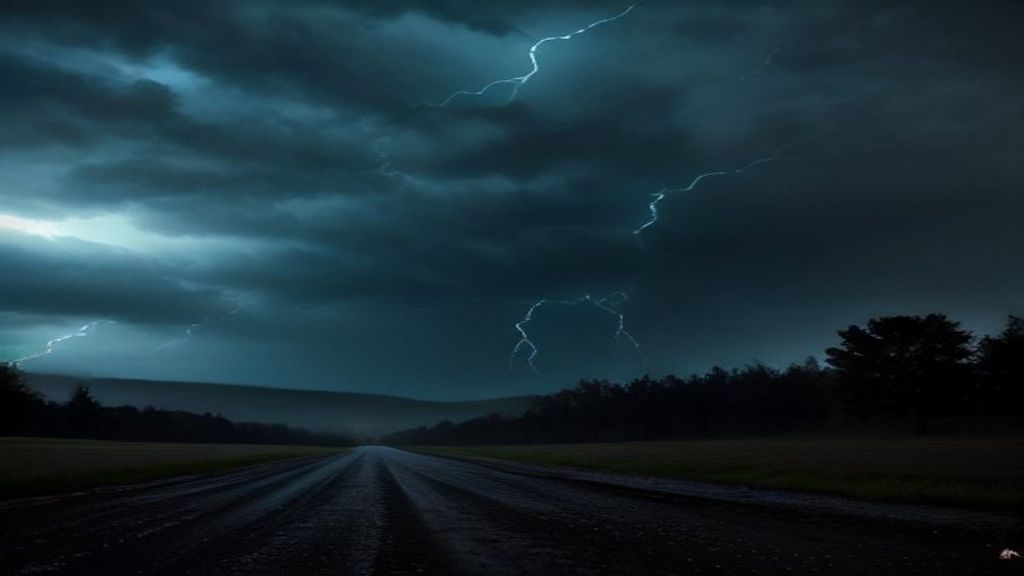 Read next‘The Sky Turn Black and Started Screaming’: Storm Chasers Survive Terrifying Direct Hit by Invisible EF4 Tornado
The problem extends beyond mere inconvenience. Official National Weather Service statements and severe weather alerts often arrive, only to expire without a single drop of rain, let alone lightning or thunder. "You can look at forecasted radar from any outlet and it has nothing developing," they lament. This consistent disconnect leads to a growing skepticism about the reliability of local predictions.
But what gives? Is this a universal struggle, or are some regions simply harder to predict? The meteorology community offers insights. One commenter points out the lack of an easy public verification tool for NWS digital forecasts. However, they highlight resources like the Dynamical scorecard, which evaluates global and regional forecast model skill at various US observation sites, down to an hourly basis. This allows for a granular look at models like NOAA HRRR, which provides highly relevant same-day forecasts.
Another argument suggests that the "probability of precipitation has both a time and spatial range component." This means a 40% chance of rain doesn't guarantee it will rain at your exact location or at a specific time, but rather within a broader area over a certain period. Understanding this nuance is key to interpreting forecasts.
Yet, for those experiencing persistent inaccuracies, the scientific explanations sometimes fall short of addressing the practical reality. The frustration of constant false alarms for severe weather, or the repeated absence of predicted rain, chips away at trust in the system.
Your brand, right here.Reach story-obsessed listeners in 45+ languages → advertise on AvoneticsNow, shifting gears from unpredictable skies to predictable pixels, another innovator has stepped forward to democratize spatial data. A GIS developer from Australia, hearing countless complaints about the high cost and steep learning curve of professional mapping software like Esri or QGIS, created "Tussock Maps." This browser-based app allows users to create print-quality maps without any installation or expensive licenses.
Users can select a basemap, import spatial layers, connect to WMS/map servers, or upload their own data in various formats like GeoJSON, Shapefile, KML, and CSV. The platform offers design tools to sketch annotations, filter by attributes, measure areas and lengths, and add legends, scale bars, and north arrows. Crucially, maps can be exported as print-ready PDFs or PNGs, including georeferenced PDFs compatible with QGIS or mobile apps like Avenza Maps.
"It's for anyone who only needs a map every now and then and doesn't want to pay for or learn full GIS software for it," the developer explains. A free version offers all layers and drawing tools with limited, lower-quality exports, while new accounts receive full access for a trial period. This tool promises to make powerful mapping capabilities accessible to a much broader audience, much like we wish weather data could be more reliably localized.
Join the hosts on "Fault Line" as they dig into these contrasting tales of data interpretation and accessibility.